|
| For this trip, we got up at 5:15 in the morning and got ready to go, often leaving our campsite before the sun was fully up. |
 |
| Leaving the Beaver Creek campsite. |
 |
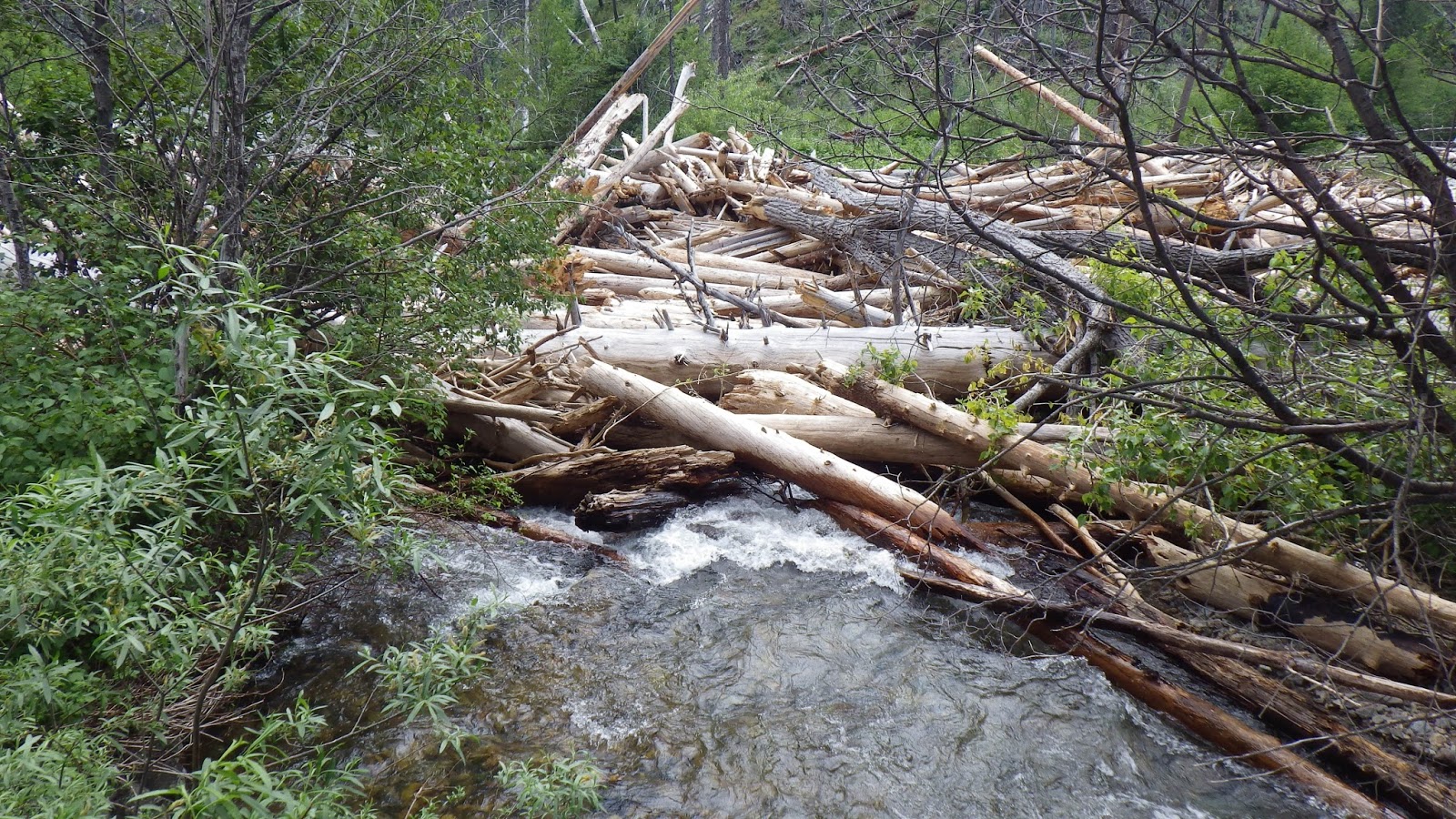
| A healthy flow in Beaver Creek. |
 |
| The forecast called for scattered thunderstorms, and the clouds looked rather ominous. |
 |
| Some trail maintenance had been done since last year. |
 |
| Ambrose and I took shelter under a tree during a brief cloudburst. |
 |
| Heading back on the trail through the newly damp vegetation. |
 |
| A little pack off break near the trail junction. |
 |
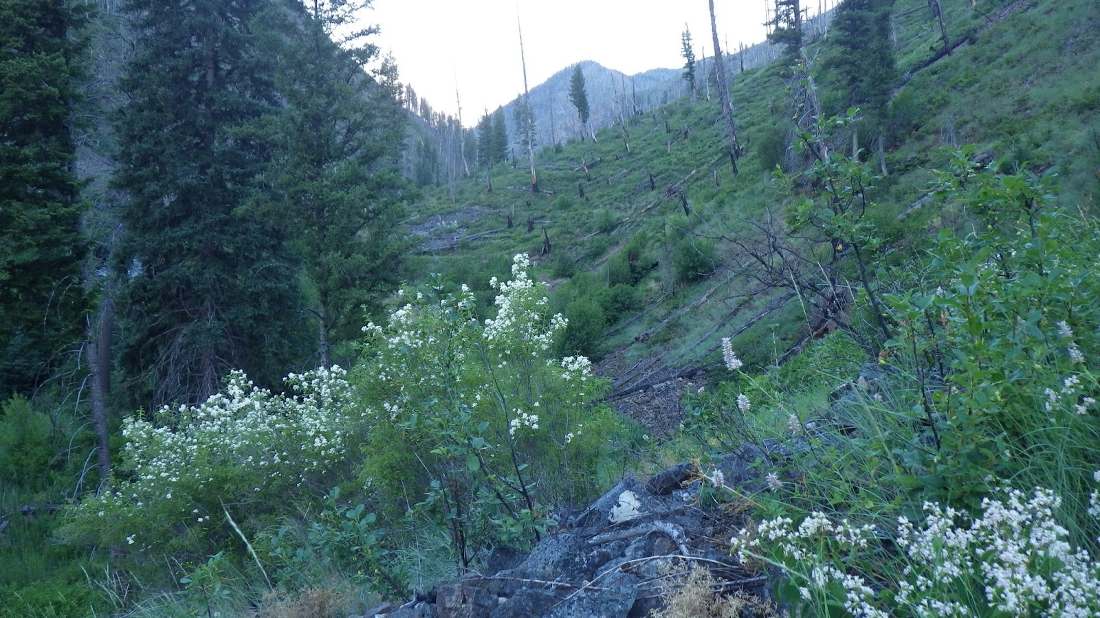
| This year we're taking the right up to Ramey Ridge rather than staying in Beaver Creek to Hand Creek. |
 |
| This trail goes radically up. |
 |
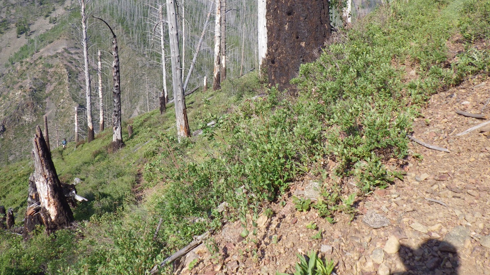
| The switchbacks gain elevation quickly, but stay mostly in the same place while doing so. |
 |
| But at least the sun came out. |
 |
| Plenty of downed trees provided problem solving opportunities on the trail. |
 |
| I feel like I've been looking back at basically the same scenery all day. |
 |
| Ambrose coming up the switchbacks. |
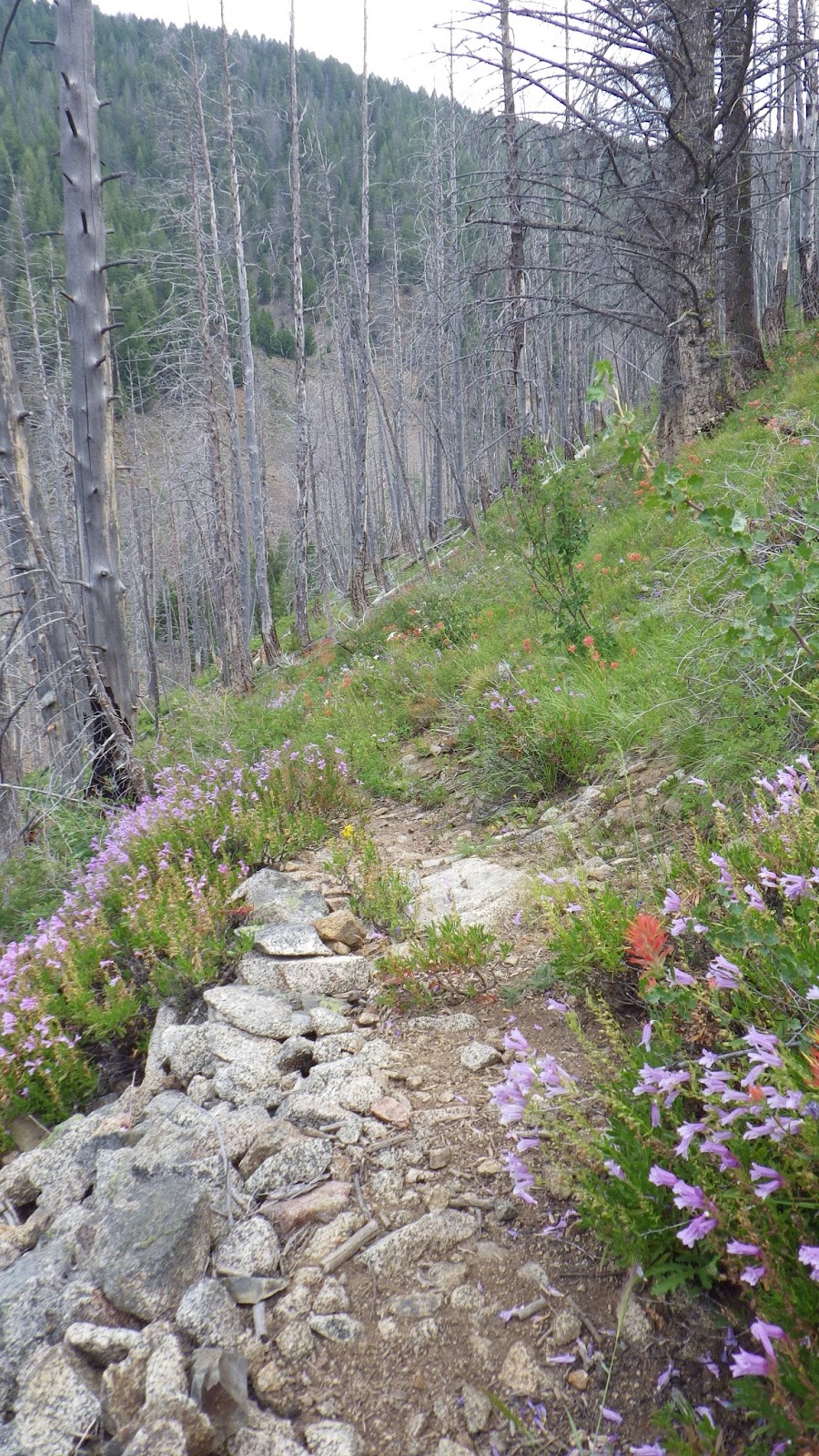 |
| Lots of flowers on the trail in July. |
 |
| This is the site of what used to be Estep Cabin, labeled on the older maps, but not the newer ones. |
 |
| Also, according to the maps, this was between me and the last chance for water. |
 |
| After making my way through the tree maze, I got to get water at this trickle. Ambrose and I got it together so it would go more quickly. |
 |
| Then we ate lunch near this old stove. |
 |
| And about five minutes later, we passed this stream directly on the trail. |
 |
| Oh look, more water on the trail. |
 |
| And yet more. The maps lied to me. |
 |
| Yellow and white columbine. |
 |
| Ambrose threading his way through a downed tree. |
 |
| Spiky flower. |
 |
| The top of Ramey Ridge, at last. |
 |
| No sign pointing forward, but I was informed that I had come from Beaver Creek. |
 |
| Ridge walking. |
 |
| Ambrose catching up. |
 |
| Getting nervous about whether we were going the right way. |
 |
| We stopped for a Spam since it was about dinner time - unlike last year when we kept pushing ourselves well past dinner and ending up quite uncomfortable. |
 |
| Junction to Rock Rabbit Point. |
 |
| Ambrose on the switchbacks. |
 |
| More water that's not supposed to be crossing the trail! |
 |
| We got rained on before the tent was even set up. And this area had a plague of mosquitoes. But it was overall a great spot because we were closer to Chamberlain Airstrip and the tent was pitched well enough to keep out the rain. |