|
| Getting up before the sun while the moon still shines. |
 |
| But it got bright quickly. |
 |
| Still lots of snow patches around here, though none over the trail. |
 |
| I enjoyed that there were more flowers in this July trip than last year's August trip. |
 |
| Here's one of the springs mentioned in the guidebook. I didn't get a picture of it last year. |
 |
| Just off trail are two deeper ponds of water where we actually collected from. Lots of insects in there and other debris, so it really needs to be pre filtered before putting it into a squeeze bag. |
 |
| Just about the last of the day's snow sightings, just as the sun was starting to shine on us. |
 |
| The junction down to Mosquito Springs. |
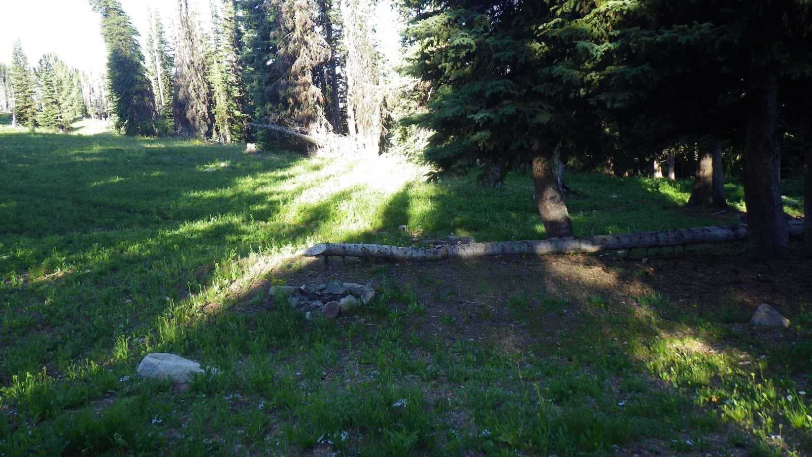 |
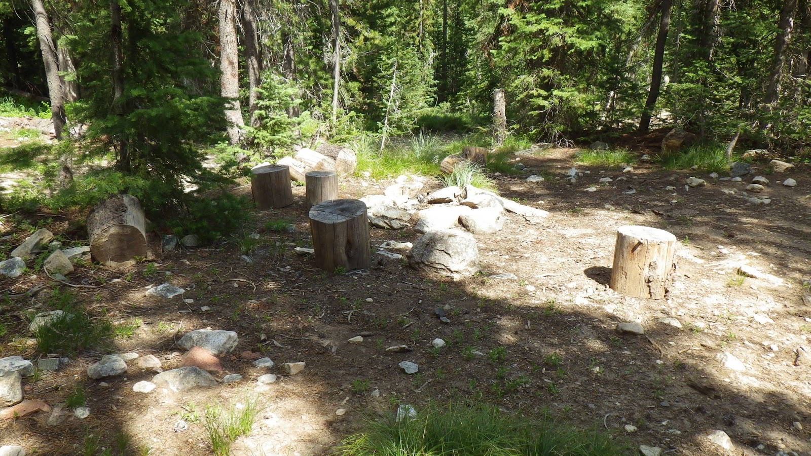
| The "old outfitters camp" at Mosquito Springs. The guidebook claims it is smelly, but I didn't find it objectionable. |
 |
| Looked like a pretty nice place to camp, to me. |
 |
| The water was a bit downslope from the fire pit. |
 |
| A little bit past the junction, we ran into some other backpackers. The little white triangle next to Ambrose in the picture is their tent. |
 |
| I'm betting they wouldn't have passed me if I'd been hiking by myself, but they passed me while I waited for Ambrose. I chatted with them a little bit and found out that the guy of the male/female pair had been heading out the day Ambrose and I headed in, and had, in fact, passed us on the Big Creek trail as he was guiding a group that had flown into Chamberlain and hiked out. |
 |
| Ambrose was actually hiking pretty fast, for him. Much better than last year. |
 |
| The moon was still out. |
 |
| Heading up, shaded by the ridge. |
 |
| I love those paintbrushes. |
 |
| Another burned out section, with more soap root flower. |
 |
| Someday I'll follow that old trail and see where it used to lead. |
 |
| Heading up to the day's high point. |
 |
| This section seemed a lot shorter than last year. |
 |
| I made it! |
 |
| This would be the spot for lunch. |
 |
| Ambrose made it! |
 |
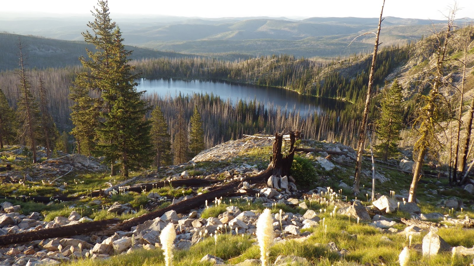
| I convinced Ambrose to stop here so we could walk over to the left and see if we could spot Sheepeater Mountain in the distance. According to the guidebook, it was out there, but last year I couldn't see far enough because of haze. It was a beautiful view, but I still couldn't pinpoint Sheepeater. |
 |
| Switchbacking down. |
 |
| The trail gets really steep in these switchbacks. |
 |
| The permit box was all broken! We did tell the ranger about this back at Big Creek when we got there. |
 |
| Ambrose, out of the wilderness. |
 |
| We had enough daylight to make it to the car, but we chose to stay and spend the night here. Part of the point of this trip was to get experience in longer trips and staying out for the full seven days was more important than getting days with bigger mileage. Besides, it seemed like such a nice little spot. |