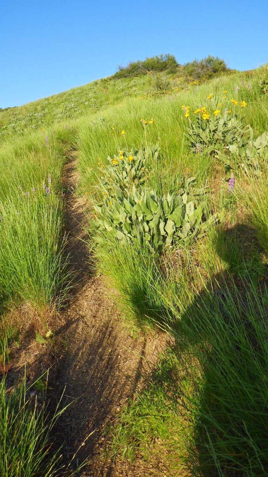
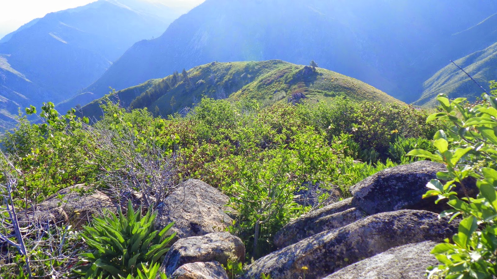
6125 is what we call the route that we take to an elevation overlooking Twin Springs, ID. It is relatively short at 3.2 miles one way, but packs quite the elevation gain at approximately 3000 feet. Last year, my best time was around 4 hours, and Ambrose’s was around 6. I hoped that we would each improve, because we had spent the winter working our butts off at the gym in anticipation of a stronger hiking season.
So that’s just what we did.
We arrived at the trailhead before dark and parked the car in a wide gravel area at the side of the road overlooking the river. Then we gathered up our packs and headed off for our first actual backpacking trip of the season - the last two trips were car camping with day hikes. I was feeling a bit ill, so I opted to follow Ambrose rather than zip off to our destination. I tend to get dehydrated on our long drives into the wilds because our car doesn’t have air conditioning.
We moved at a good pace, and reached the established camp site in good time. This site has a fire pit and boards on rocks set up as benches. It is very close to Sheep Creek, and the sound of the water makes it difficult to hear anything but the rushing flow and the occasional glorping thud of rocks moving in the water.
I set up the tent while Ambrose filled up our water bladders and got himself settled. It was easy to fall asleep in the tent with the white noise of the water covering Ambrose’s snores.
 |
| The tent is set up close to the river. |
 |
| This site has plank benches and a fire pit. |
Not so easy to get up in the morning, but that’s typical with me. I try to be more cheerful than I feel in the mornings, because that makes for a better day, but I still prefer to sleep in over getting up at 5am. Still, the sooner we began the hike, the sooner it would be over and we could head home.
It isn’t that I don’t like hiking… it’s just that this hike is particularly evil, and has been a bit of a trial for me since we began to do it last year. Once again, it comes down to the ilio-tibial band issue on my right leg. I’ve been able to get around it, adjust my gait and figure out ways to prevent the pain from recurring, but it would be severely tested by coming down those 3000 feet, which, at many points, were ridiculously steep. On one trip last year, I came down in total pain the entire route, and had to endure the additional salt of Ambrose passing me. I’d had success in downhill hiking so far this year, but this could be different.
Ambrose insisted that we start the hike together, because after we crossed a bridge over Sheep Creek, we would have to cross a small stream that feeds into it. I scoffed, because my memory of the feeder was that it was no more than a hop wide, but the memory of the Queen’s River’s swollen depths made me agree with him.
Just in case.
The small stream was not very far from where we began, and it was exactly as I remembered it. I smiled, but didn’t gloat too much. I hope.
Then I was out of there. Ambrose paused to take his rain jacket off. He had worn it because the morning was chilly. I hadn’t worn mine, because I knew that I was about to work hard enough to ignore the cold. I was just getting into a rhythm when I came to the last flat spot I’d see for a while, a meadow up above the creek. I saw three deer streaking away from the water, and I paused to take them in and snap a picture. I even turned to see if I could share the moment with Ambrose, but he was nowhere in sight so I moved on to the beginning of the steeps.
 |
| Two deer ran ahead while the rearguard followed up. |
I break down trails that I travel frequently into sections. 6125 has the section near Sheep Creek, the meadow, and then a series of ridges and valleys that must be traversed, all while climbing up, up, up. The first is the one with the trees. Then there’s the “W,” so named because of its shape. Next is the scar, where a large scrape of gravel cuts across the path. Finally, there’s the saddle, where the path tops the ridge and begins to follow it.
 |
| The day started off cloudy. |
After cresting the saddle I hiked on through a section filled with bushes and flowers, continuing to head up, but not as steeply. Then there was a flatter spot, and I could see the city of Twin Springs off to my right, looking so small in the distance.
 |
| These flowers and grasses won't be green in a few weeks. |
 |
| The trail will get me there eventually. |
 |
| The rocks! |
 |
| See him? |
 |
| How about with some digital zoom? |
I knew that the hardest part for me was yet to come. When I reached the saddle again, I tried to stay calm and not get panicked as I placed my steps carefully down the steep, rocky ball bearings on the trail. I thought that it would hurt. I dreaded it.
But it didn't happen.
I kept going down. I moved at a slow, steady pace. But not too slow. I marked the sections as I passed them. I hoped I could make it in less than 4 hours, and that hope got more realistic as I kept moving and didn't feel the old familiar pain in my knee.
 |
| The tree section right before the meadow is the beginning of the end. |
 |
| The trail seems to end in the creek... |
I dumped my pack on the ground and took a few moments to savor a hike well done. Then I made coffee and worked on breaking camp before Ambrose got back. I had us all packed up and ready to cook lunch by the time he showed up a little more than 2 hours later.
We ate lunch and then hiked back to the car to drive home.
Just a nice little weekend workout.
No comments:
Post a Comment