And that’s why our trip to Johnson Lake over Labor Day weekend was going to be the last one that we take for quite some time. Although I do hope to do some winter hiking in the Boise foothills to try and build up strength and endurance for next season.
We arrived at the Queens River Trailhead as twilight descended. I insisted on the campsite closest to the toilet, since it was available. I managed to erect the tent with only one major error. I tried to put the short pole that goes in the vestibule portion of the rainfly into the main body of the tent - a completely understandable mistake in near darkness.
As Ambrose put up the rainfly, I headed to the car to get my headlamp, which I should have done before I started setting up the tent… A guy had just come out of the bathroom and he and I chatted for a bit about the relative merits of driving to the trailhead from Boise by way of Mountain Home or Idaho City (our route). We both agreed taking Middle Fork Road was inferior - nowhere to get pie or milk shakes.
I also let him know that a portion of the loop trail had been washed out since he said that he and his female partner, who emerged from the toilet after a few minutes, were thinking of doing the loop. I assured them that someone had probably flagged the route by now, but that vast areas of trail were simply gone as of a month ago.
They went back to their truck to sleep and I managed to fall asleep after finishing the first chapter of my textbook in the tent.
 |
| For once - I was more awake than Ambrose in the morning. |
We stepped off the trail to let the horses by, because horses are big and they were walking faster than we were. The man told us they were just watering the horses, and Ambrose told him we were still stepping aside. The man seemed satisfied by that. He asked where we were going, and I told him we were going to Johnson Lake, up the Little Queens.
“Good luck with that. We’re going up the BIG Queens,” was his reply.
Those words certainly look innocuous on the page, but I really didn’t like the way that he said them.
Still, I wasn’t going to get upset over some fat old guy who probably couldn’t imagine walking more than a mile on his own two feet, so he had to burden some poor horse with his lazy butt and rename a river to suit his own ego.
Ahem.
I was more peppy than usual that morning. Instead of zombie walking behind Ambrose for the first mile or so, I strode ahead, struggling to keep him in sight as I zipped up the trail.
 |
| The water levels were down considerably since my solo hike. |
 |
| The cloudy day added to the feeling of autumn in the air. |
I was excited to see if the new trail routes that we had seen marked but not completed, were finally in place. But even more, I was excited to be leading Ambrose to a place that I had been in the wilderness and he had not. Even if the section of the trail new to him was only the last mile and destination.
 |
| Goodbye bridge! |
 |
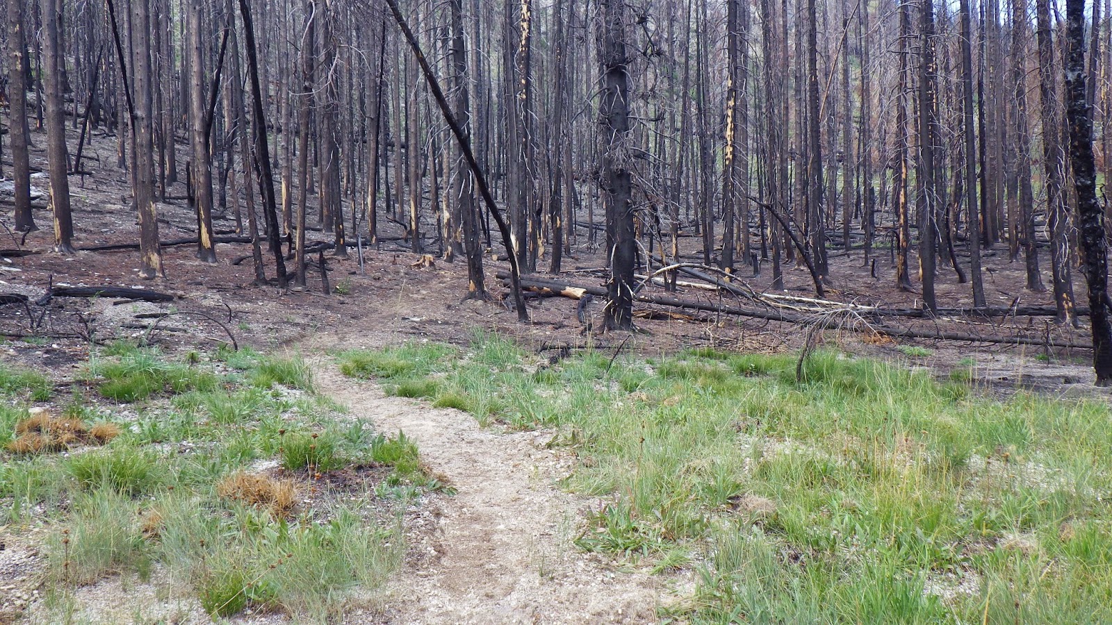
| Hello, trail diversion! |
When we got to the first ford of the Little Queens River, I took a long look at the crossing. I really wanted to keep my boots on. It was cold, and I didn’t want to take the time and trouble. But I wanted to get water in my boots even less, so I decided to take them off. Ambrose followed my lead. I think I could have avoided the boots off if I had been willing to push my way through some bushes on the bank, but the bushes were soaking wet from the night’s rain, and I was too cold to get any wetter than I had to.
 |
| Freshly cut trail! |
 |
| I shall call this stream crossing the Cthulu stump crossing. |
 |
| Watch out for the Cthulu stump! |
 |
| This is still not a rock hop. |
 |
| Someone dropped this tent tag in the mud. I picked it up and packed it out, thereby earning my junior wilderness ranger badge (not). |
I zoomed ahead after the crossing. I wanted to warm up, and the best way to do that was to go fast. Some of the plants were already an autumnal orange, and the chill in the air reminded me that fall comes earlier in the higher altitudes - and that it wouldn’t be long before the weather in the valley turned towards winter.
I noticed more signs of trail improvement as I hiked on. What had been a mudflat became a clear trail. Stream crossings were more clearly defined - though not always easier to cross. There was one that I thought was much easier to cross slightly downstream of where they ended up putting the trail. But it wasn’t my decision, and I don’t know what reasons they may have had.
When I arrived at the next ford, I decided to go for it in my boots. The only section that would have stopped me had been conveniently bridged by three logs lodged against a rock. I made it across without any issues and went ahead and got ready to make camp coffee. We had already had french press coffee before leaving camp, but there’s no such thing as too much coffee when backpacking. Especially camp coffee, since we use latte mix instead of instant coffee.
I had the coffee made up by the time Ambrose appeared on the opposite bank. I yelled over to him that he didn’t need to take his boots off and tried to direct him to what I thought was the best path across. It kinda didn’t work, because he couldn’t hear me very well over the sounds of the river. But he made it safely across, and we took a break and drank coffee.
We speculated that we should be seeing those two backpackers that we’d met the night before soon if they were going to come this way. They hadn’t stirred from their truck by the time we had left the trailhead.
 |
| Trail, diverted. |
We came upon another completed trail diversion before the Neinmeyer junction. It was a less direct route, but not too far out of the way from where the trail ran before. It was not far past that junction that I decided that I wanted my pack cover off. Did I stop, take my pack off and then remove the cover, like any sensible person would?
Of course not.
I asked Ambrose to take it off while I wore the pack, and then to stow it in the pack cover pouch.
It turns out that putting the pack cover back in the pouch is a bit trickier than taking it out. The pouch may be separate from the rest of the pack, but it is using the same space. Once it was removed, my other stuff expanded, cat-like, to fill the available space.
I ended up bending over at the waist to give Ambrose a better angle to stuff the cover in the pouch. He stood behind him me and shoved. And I said that this would be just the time for someone to walk up on us as I bumped against him suggestively.
Then two someones walked up on us.
Yup, the backpackers from the night before were faster hikers than us.
Ambrose managed to finish shoving the cover in before he realized that we had company. We chatted with them for a few moments. They had no set plan, not even sure whether they’d be staying one night or two. It was only after they left that I realized why I thought that was so weird - what would they put on their permit?
Our permit clearly marked our intent to spend two nights at Johnson Lake, and I didn’t know what I would put if I didn’t have a clear itinerary.
I hiked after the speedy pair, keeping up enough with them enough to see that they made the turn to Scenic Lake. We had thought about going to Scenic, but from what we had heard, the area had been hard hit by the fires last year and wasn’t as scenic as it used to be. Johnson, on the other hand, I knew had escaped much of the fire damage.
 |
| The swamp has gone from green to yellow. |
 |
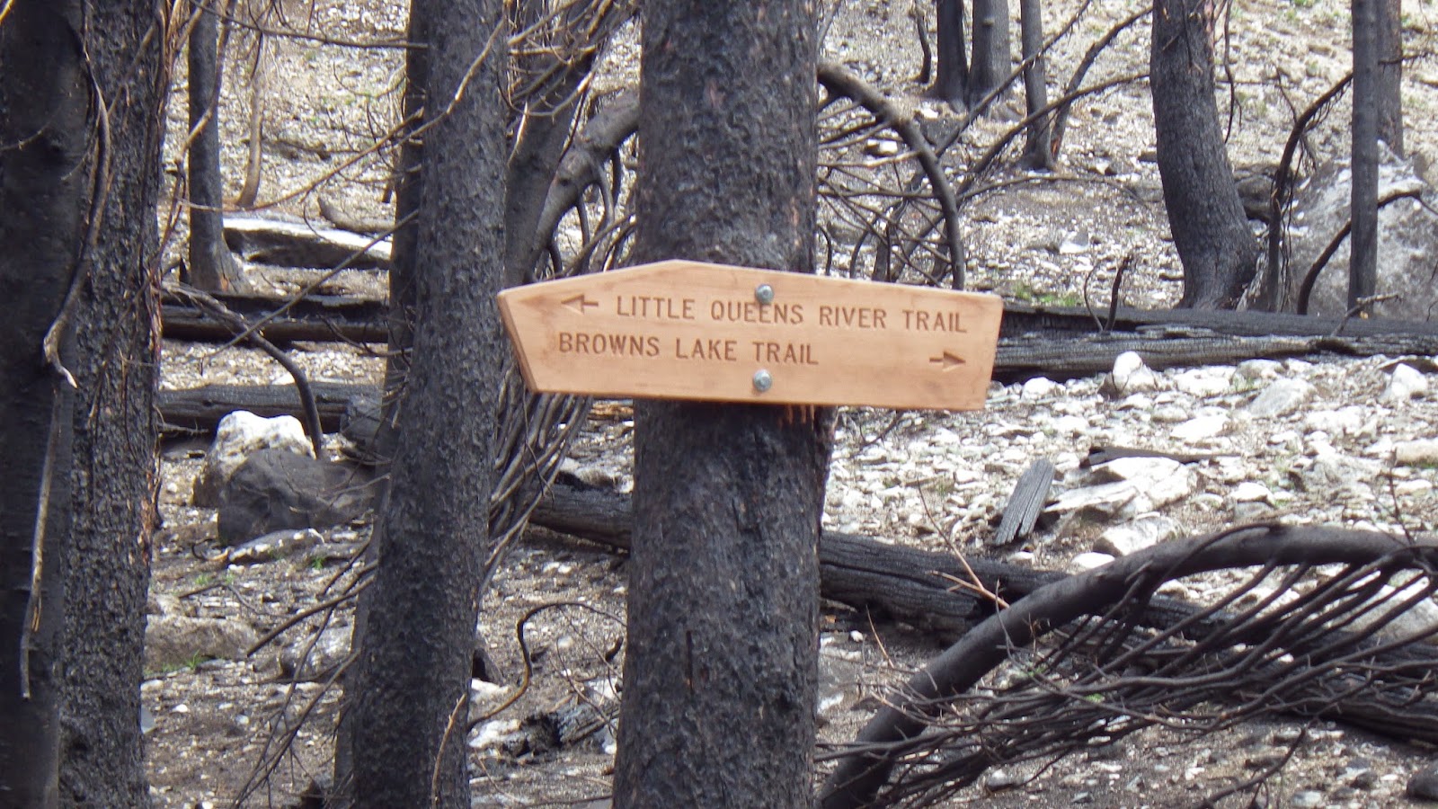
| They've added nifty new signs for many of the trail junctions. |
 |
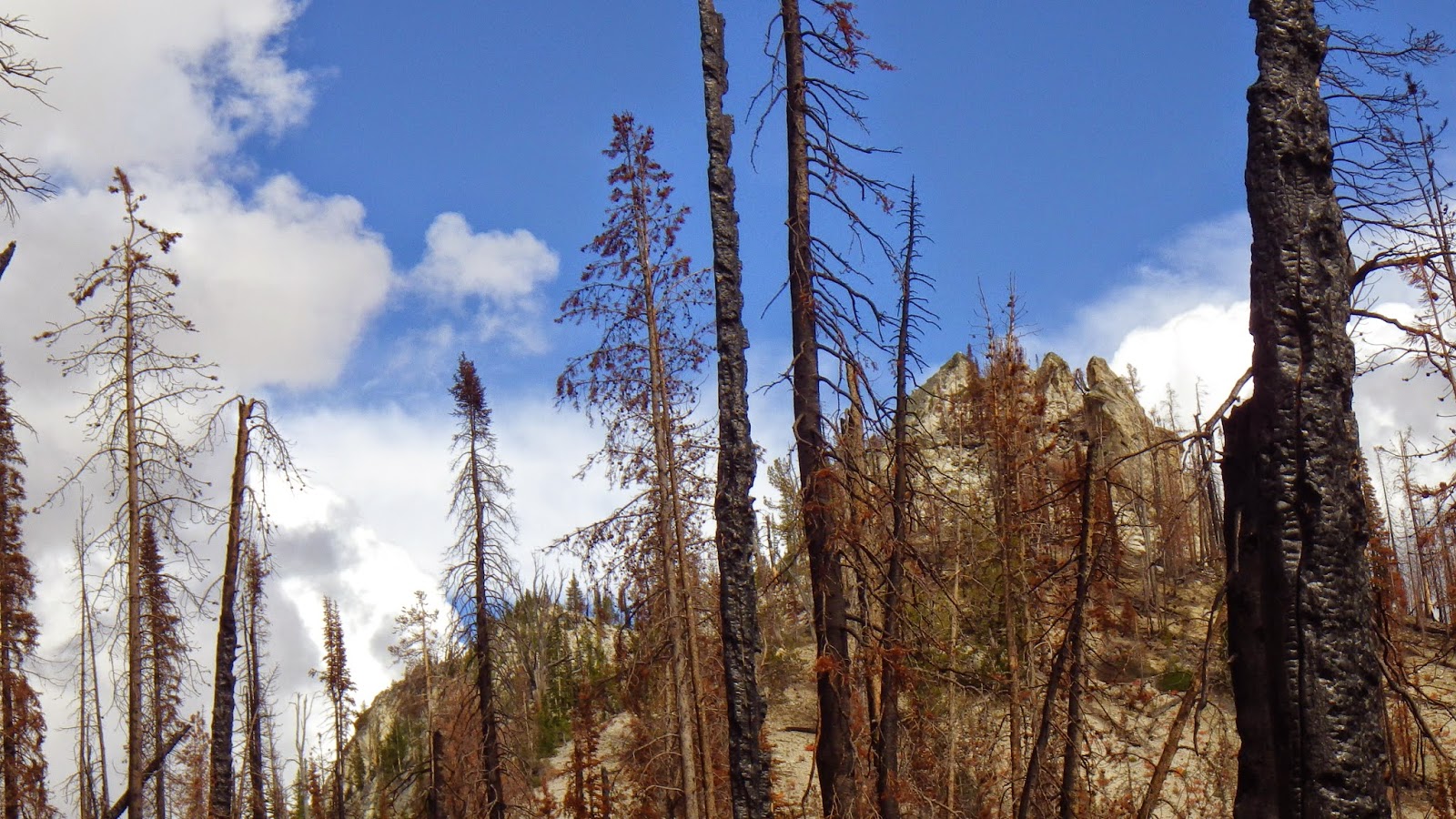
| I'm pretty sure that tooth-like peak overlooks Johnson Lake. |
 |
| The mysterious yellow blob! |
 |
| Hurray for cut logs! See something that doesn't belong in this picture? Click to enlarge and find it. |
Lunch was potted meat and tortillas. Not quite as good without the tomato, but that didn’t stop me from devouring mine. After a break, we parted ways until the next good water source. I would fill my water bag, and top off my bladder, then wait for him to arrive and trade the filled water bag for his empty one.I stopped at the small stream where we had eaten lunch before, and timed it pretty well, finishing with my bladder just as he walked up. Our next meet-up would be at the junction to Browns Lake.
 |
| Water stop. |
The tunnel of bushes right before the uphill section I’ve been calling “the chute” had been trimmed back significantly. With all the work I had seen, it shouldn’t have been such a surprise when I saw someone pop up in front of me on the trail. She wasn’t wearing a ranger’s uniform but said she was with the forest service so I made sure to tell her that my husband was behind me and on my permit.
 |
| This is my last glimpse of what I think is the peak above High Pass. |
I said the same thing to the next person I ran into, but he said he didn’t care because he wasn’t a ranger. Which gave me a fun little fantasy of the woman trying to give Ambrose a hard time for not having a permit on him, even though she wasn’t a ranger and wouldn’t actually care.
 |
| The tunnel of bushes has been trimmed back! |
 |
| The autumn colors have invaded the meadow - and what's that blue-ish speck? |
 |
| Oh, it's Ambrose, as seen from a great height. |
 |
| Another spiffy sign! |
Then two men walked down the path we were about to take. Though neither was dressed as a ranger, one of them explained that he was in fact a ranger and examined my permit.
We chatted with him for a while. The other guy was in charge of the trail improvement crew. The ranger was helping them out - and they revealed my yellow blob was the tarp over their base camp.
Ambrose and I also mentioned the couple that might not have a permit, after the ranger informed us that part of the reason for the permit was for hikers to have a copy of the wilderness rules on them at all times. I’m not sure what I wanted his response to be, but he said that he had a spare permit on him for them if he found them.
We hiked on up the trail. I agreed to meet Ambrose at High Pass, which was to be our highest point of this trip. By now, the switchbacks felt familiar to me, although there were some welcome changes. Before, the switchbacks had been blocked by numerous fallen logs, some of which were difficult to maneuver around, but now they were cleared. It was almost easy - for me anyway.
 |
| More cut logs! |
 |
| The view from High Pass towards Johnson Lake. |
 |
| The peak above High Pass. |
I led the way down that trail, since I knew it and Ambrose did not. I was pleased, even excited, to be leading him to somewhere he had never been. Sharing that trail with him, while keeping mental fingers crossed that I didn’t get us lost, gave me a boost of energy despite the cold.
I managed to get us in sight of Johnson Lake, which is where I lost the trail before. From that point, I led us cross-country style directly to the lake, rather than trying to figure out where the trail wanted to go. If there was trail there at all. On the map, the trail did seem to peter out before reaching the lake.
 |
| There's Johnson! And the tooth-like peak above it. |
We chose the same spot to camp that I had spent the night before, again electing not to put the tent in the floodplain near the fire pit - or rather near what used to be the fire pit. The ranger had dug out the old, and, in the wilderness area, illegal, fire pit and covered it with a large rock. But they left the rocks that were arranged like seats around it in place, yay.
 |
| There used to be a fire pit there, but now it is gone. |
 |
| This is Ambrose's "hungry" face. |
 |
| We weren't totally alone at the camp site... |


No comments:
Post a Comment