We slept in relatively late this morning before heading out. We wanted it to be light out enough to see, since some of the trails were not in the best of shapes. And that was just the part that we knew of, that Bill had traveled from the junction to Upper Ramey Meadows.
Mike was very helpful with finding the trail through tall grasses. The situation reminded me of when Ambrose and I went to Blackmare Lake one year. We met a couple with dogs who were coming back from the lake, and saw them again on our way back. As per usual, we got lost on the way there. The couple told us, after the fact, that if it hadn't been for their dogs finding the trail, they would have gotten lost too.
Bill had left a note at the junction sign for us, just in case we didn't meet up. He made sure to grab it when we reached the junction so as not to a) leave trash and b) confuse future trail users. At the junction, we turned south and started heading up a switchback through a recently burned area. It was burned long enough ago that some green plants had started growing, but recently enough that all of the trees were blackened and standing, and the ground was dark and ashy.
The view was rather stark, but it did provide an advantage. We found more morels. I cut one for Ambrose that I liked because it looked like a dunce cap. Ambrose would have had me cut more, but he didn't realize that he had so much room in his mesh bag for them or we would have cut every single morel there.
For a while, Mike was in the lead, but when Bill fell back, Mike followed him. I led the way for a bit, and called a break when my alarm told me it was time. Of course, the guys were behind me, so I had to wait for them to catch up before they could take a break. We were at the top of a rise, still in the burned zone, with good views all the way around. I tried to find Rock Rabbit Point, but either it wasn't visible from there or I just couldn't see it. I did see One Man Butte.
The men left before me so I could have some privacy to dig a hole off trail. That's one nice thing about burned areas - they tend to be easy to dig in.
I took a bit longer than I anticipated and it took me a while to catch up. I admired Haypress Meadow as the trail wound around it, and caught Ambrose first. By the time we reached Bill, it was well past break time. He was sitting in the shade of some trees, and Ambrose and I found our own spots of shade.
I kept an eye on the time and announced it was time to get moving after about ten minutes. Then came the spontaneous utterance.
See, in backpacking, there is a thing called a trail name. A name that one goes by while on the trail. A person can have more than one, different ones for different hikes, and they are more common on thru hikes. Some people choose their own trail names, while others have them bestowed upon them. In the past, Ambrose had referred to me as Rabbit, but it was more like a joke between the two of us.
But when I told the group on that morning that it was time to get going, Bill gave a reply tinged with sarcasm, "Okay, Taskmaster."
And while we didn't talk about trail names until later that day, when we did talk about them, that's what came to my mind. The spontaneous utterance, without forethought or gendering (Bill's suggestion after more thought was something like Boss Lady).
On these trips with Bill, to the coast and the Frank Church, Ambrose encouraged me to take the lead. He had done the planning, and I was in charge of executing. I took that duty seriously. Perhaps a bit too seriously at times, but that's how I roll.
We moved on. The trail soon turned to cut right through the meadow, and Mike's help was invaluable again. Though he did sometimes get distracted from where the trail actually went.
The trail was marked in an innovative way where blazes and cut logs were impractical by small posts with rocks around their bases. That made sense where the ground was boggy.
The terrain was no longer burned, and we got some nice shade as the trail traversed the side of a ridge, rising high above both meadows and water. We got a bit more climbing in, where I pulled ahead out of the sheer joy of climbing. And I waited at the top. Bill caught up, and then went on, while I waited to make sure Ambrose was catching up. We like to stay connected on trails that we haven't taken before.
At the next break, it was getting pretty warm, so I decided to try my new piece of gear. In addition to my regular hiking pants, I had packed a hiking skort. I wouldn't want to do a skirt, because my thighs rub together and I don't like how that feels. But I thought the skort would provide a nice level of coolness with less rub.
So as we all sat on the side of the trail I announced that anyone who didn't want to see my pretty, purple hiking underwear should avoid looking in my direction for the next few minutes and I switched from pants to skort.
It was definitely cooler. But also very much more exposed. Where with my Rail Riders pants, I could push through brush and branches with impunity, now my skin was exposed to every little piece of nature that could puncture or scrape it. Also, the shorts part kept riding up, allowing my thighs to rub, so I'd have to stop and pull them back down.
There were definitely some things I didn't like about wearing the skort, but I was determined to give them a good long try.
We reached Moose Meadow before lunch and found a nice spot to camp. After eating lunch, Bill and I explored the trail ahead to see if there was a better camping spot closer to where we were headed the next morning. Unfornately, there weren't any flat, open spots near the next junction, and we didn't want to leave the water behind, so we came back with the news that this spot was best, and that there was water right next to our current campsite.
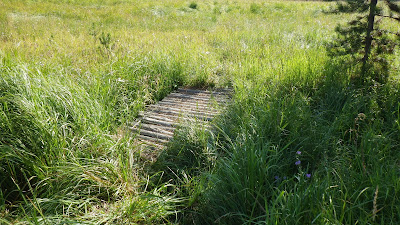
Ah yes, that water. It was a very small stream, but fast flowing. It used to be bridged, but the bridge was now torn up, with just two planks and a bunch of nails laid across. Since we were 4 days in, I wanted to wash my hair, because if I don't wash my hair, I get intractable headaches. And I was going to take my two liter water bag to fill and use. But Ambrose insisted -
insisted - that I take his gallon bag.
So I did. And I filled it and grabbed the large cap and started to screw that cap on. And I lost my grip on the cap and dropped it. Directly into the swift flow of the stream. Where it promptly got sucked away into the meadow.
I tried to find it. I dug my hand under and felt the fast flow of the water. I tried to follow the path of the stream into the meadow through bushes and grass, where it hid and I tried calling for help. But no one came to my calls. Two strong men within shouting distance and neither wanted to come help me. Fine! I kept looking, and then I took a wrong step and submersed my leg up to my thigh.
That was enough. I yelled even louder and, finally, Ambrose came to see what was up. I explained the problem, and I have to give him credit for not flipping out that I had lost a key piece of gear.
Of course, just because he didn't flip out didn't mean I didn't feel horrible about it. But I washed my hair and then we got to work figuring out a way to rig the bag so it was still usable, even if the large cap was missing. Since the bag actually had two caps, one little one for the filter and one big one for filling, we were able to tape down the big hole that now lacked a cap and still use the bag to filter water using the power of gravity.
Thank goodness, because we still had days of travel.
Later that evening, I noticed that I had lost one of the threaded balls from my nose ring.
This leads me to conclude that Moose Meadows is ravenous and will take a toll of passers-through. I see no flaws in this logic.
We didn't see any moose in Moose Meadows, but we did see a good number of birds and the view was quite lovely. It was an early night, because we planned to get up as early as possible, hiking in the dark by headlamp as needed, in order to try and beat the head of the day. The next day would have a ten mile dry stretch, and the more we could get done before the sun started baking us, the better.
 |
| Ambrose is ready to head out from Lower Ramey Meadows. Bill is working on getting Mike's pack on. |
 |
| We started the morning with a boots on crossing of Big Ramey Creek. |
 |
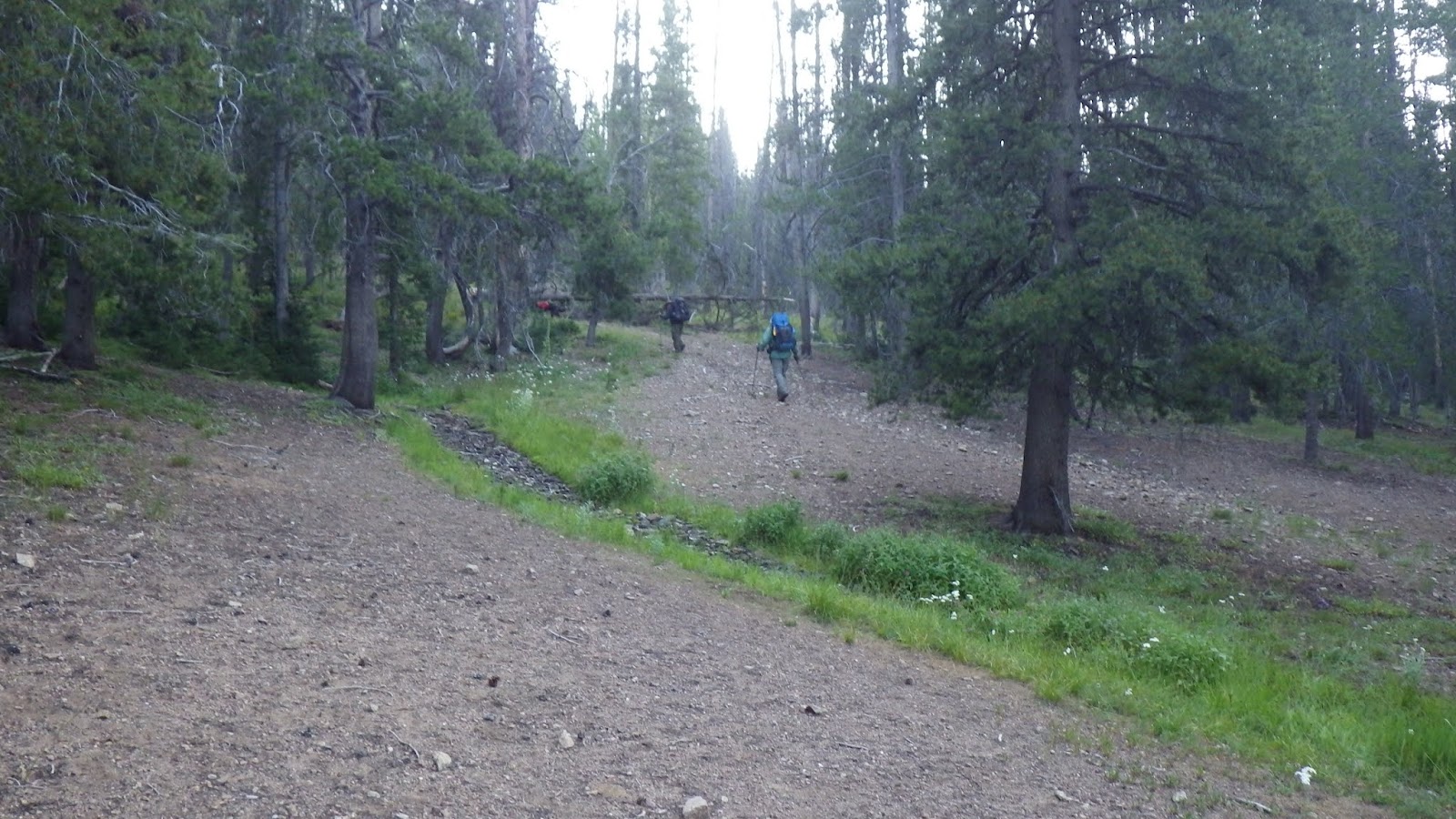
| Mike knows where the trail is. |
 |
| Another unexpected morel. |
 |
| Bill taking his note down from the sign. |
 |
| Heading up and over a ridge. |
 |
| The sun is catching us. |
 |
| Another morel! I cut this one for Ambrose. |
 |
| A little bit of burned area hiking. |
 |
| But it's green by the streams. |
 |
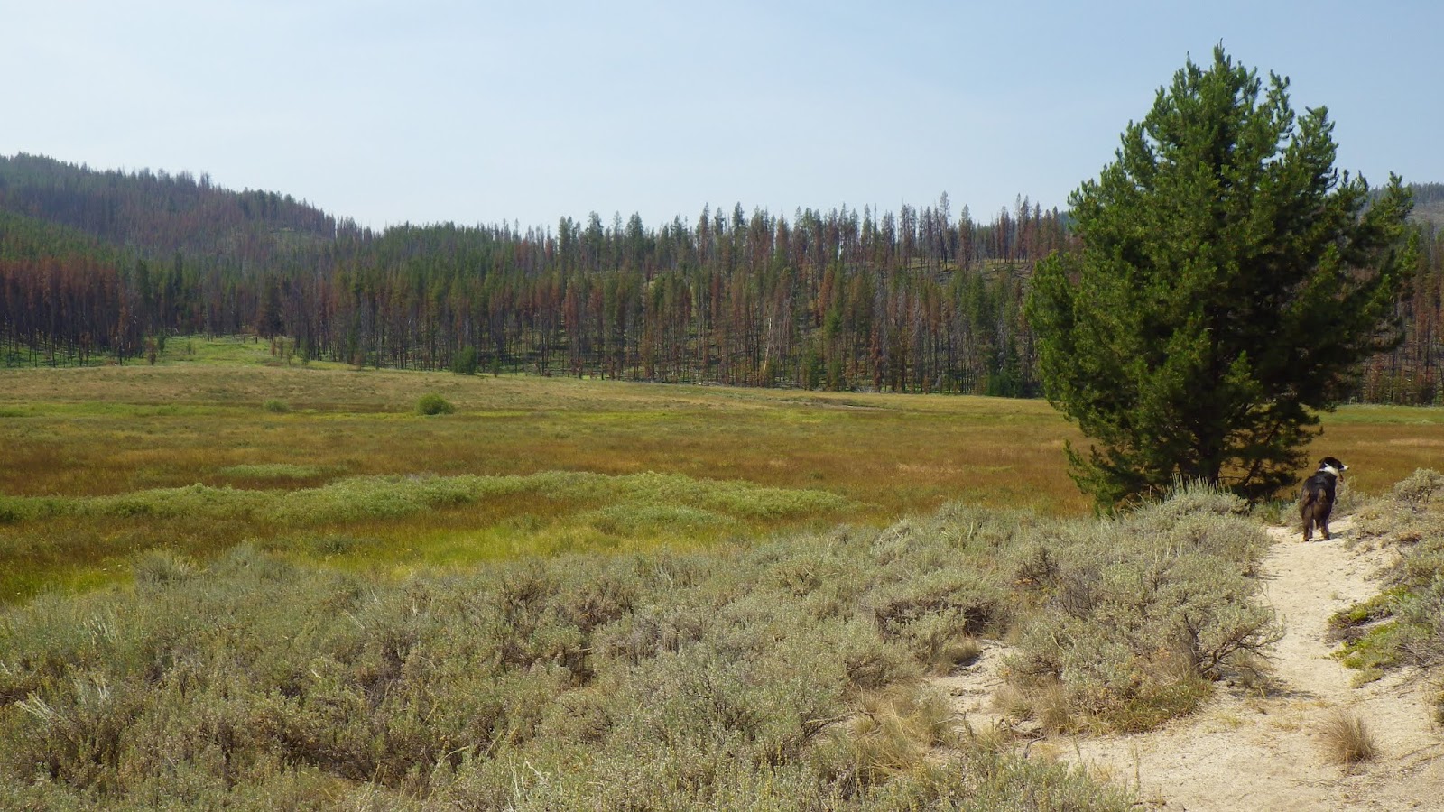
| And Haypress Meadow has some good swaths of greenery as well. |
 |
| Easy and enjoyable trail. |
 |
| Some ups and downs, but for the most part the trail was flat next to Haypress. |
 |
| I could see a lot of water down in the meadow and it made me glad that the trail was high above. |
 |
| Finally caught up to Ambrose. |
 |
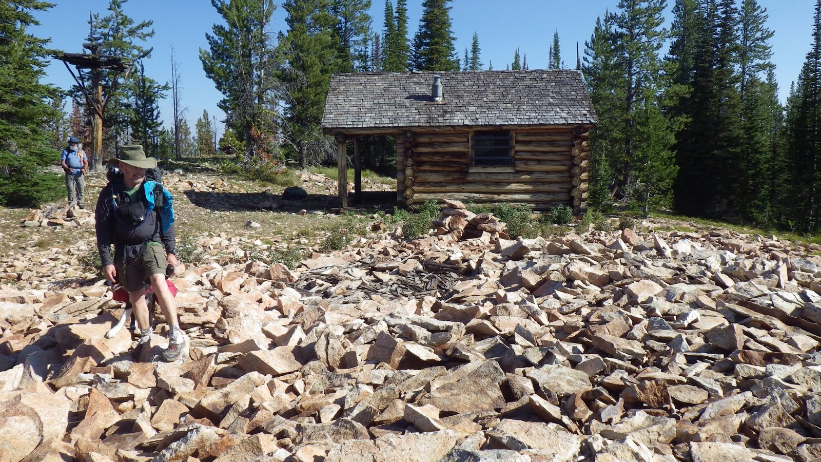
| I sat on these logs to take a break. |
 |
| That's kind of the trail... |
 |
| Definitely trail. |
 |
| Trail-ish. |
 |
| We made it to the other side of the meadow and began to climb again. |
 |
| We hiked through more recovering burned areas. |
 |
| Trail post - and Mike. |
 |
| Somewhere around here is where I switched over to my skort. |
 |
| Feeling grass on my calves was definitely a new sensation. |
 |
| This rock looked like a rat to me, but Ambrose thought it looked like a toad. |
 |
| Last big stream crossing before Moose Meadows. |
 |
| I was starting to get the hang of catching Mike being cute. |
 |
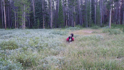
| We made it to Moose Meadows before lunch. |
 |
| It was a pretty meadow, though I still preferred Lower Ramey. |
 |
| Mike decided this was the stream he needed to drink from. |
 |
| We came to a nice campsite and decided to stay. |
 |
| The voracious Moose Meadows, eater of my equipment. |
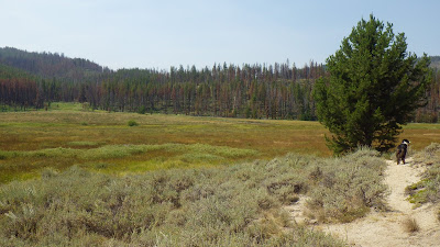 |
| Okay, it's pretty too. |