It was nice to sleep in a little bit. Though I don’t really agree with how Ambrose does it. See, he doesn’t reset the alarm. He just lets it go off at the same time (5:30 am) and then trusts himself to wake back up in 30 or 60 minutes. He’s good at it, no doubt about that, but I’d rather not have my sleep interrupted like that. I want to sleep all the way through!
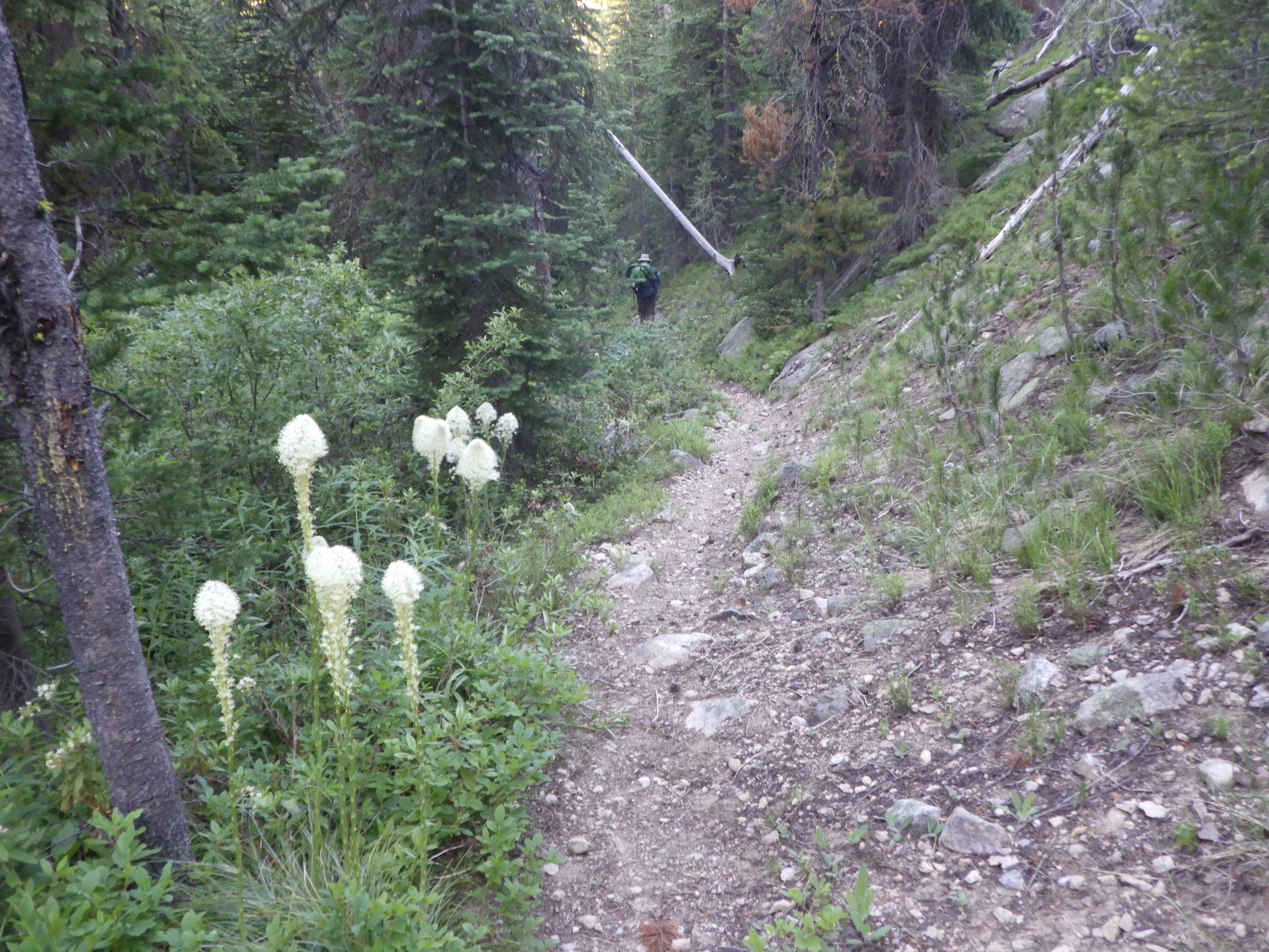
Still, it was a good morning. Not super cold, but cool enough to keep the mosquitoes asleep. We got ready in good order, and then began our day. The first few miles were going to be downhill, and I was feeling very cold, even thought it wasn’t that cold. Ambrose and I both wore our down jackets to start the hike. His choice surprised me, because he always seems to be warmed than me. I know that I don’t warm up very well if I’m hiking downhill, and I suppose, now that he has lost so much weight, he doesn’t either.
We weren’t very far from the intersection to Crane Meadows. If we hadn’t been so exhausted the day before, it would have been easy to make it there and even on to the meadow. In fact, there were now campsites at the junction. My memory of it from the first time we visited was a handwritten sign. Now there were a couple of fire rings, lots of places to camp. I didn’t see water, but from the map, it looked like there would be water across the trail not too far from the intersection. I kind of regretted not camping there.
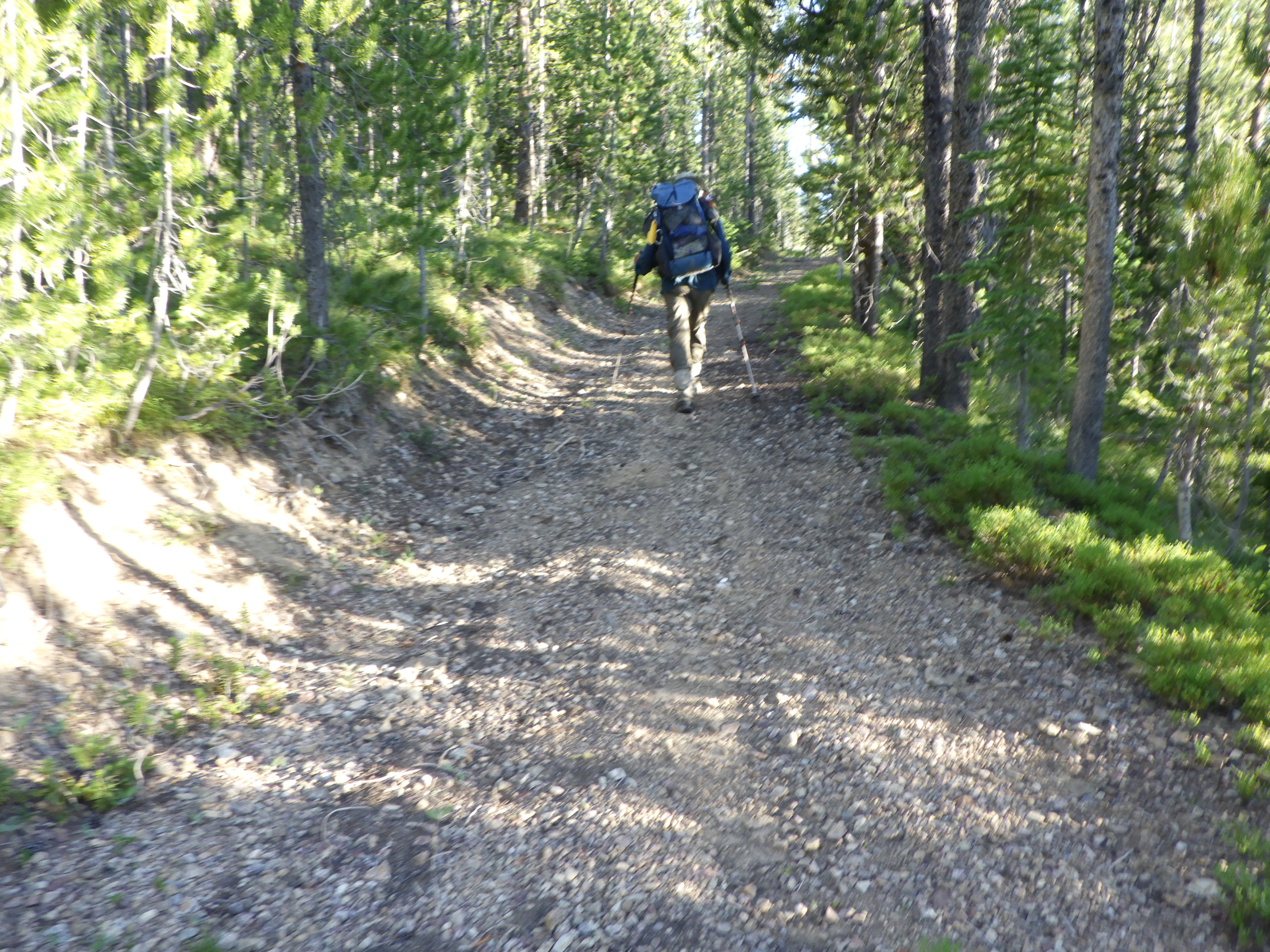
We hiked on. I remembered this part of the hike being quite pretty, and that memory held true. In the cool morning air, I wished I could take more pictures. But morning light doesn’t get along well with my camera, so I had to choose my shots wisely.
It was also a different experience to be hiking in the early morning instead of later in the day. The greenery had a more muted vibrance, instead of glowing in the sun’s light. I liked it. Other than being cold, I was feeling much better. My feet had not yet begun to ache for the day, and I had a hope that they might not. I mean, I figured my feet would get used to hiking in these boots eventually.
We knew that we were going to get to a wooden bridge before we started the really steep descent. Before we reached the bridge, Ambrose warmed up enough to take his jacket off. I kept mine on. It was cold enough that I doubted I’d take it off before we caught the sun. Of course, we were running away from the sun by hiking down into a canyon, avoiding it as long as possible.
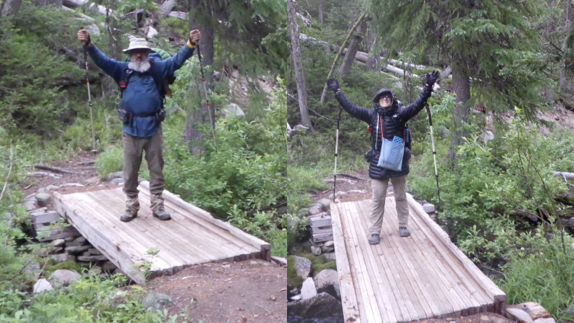
We reached the little bridge way quicker than I thought we would. I took a picture of Ambrose, and he took one of me. I wish I’d told him to make sure that he took it from the same general angle that I’d taken his so that I could superimpose us together on the bridge, but alas, I wasn’t thinking of that and neither was he.
After the bridge, we were headed down. And fast. I mean, it started off easily enough, a nice gentle downslope among well grown trees. But then the trail just takes a dive. I remember coming up this trail and feeling like it was practically vertical. It’s a little better going down, but it is still very steep. And rocky.
But it goes a lot faster when you’re going down instead of up.
I saw signs of beaver work below on Hand Creek, which made me smile. There were some huckleberries growing along the trail, but they were still green. Too early for them to be ripe, alas. There were even still thimbleberries in bloom. That’s what we get for hiking in mid-July.
It was just about time for a break when we reached the canyon floor. We put our packs down, but I did walk ahead a bit to see if the crossing of Hand Creek was right around the next bend. It was not, though it was definitely close. I was glad that we stopped for a break though, because it was break time. And crossing a creek is best done with some food in our bellies. I also took the opportunity to take my down jacket off and stow it. It was still a little chilly, but I could handle the temperature with my sun hoodie and button down shirt.
After break, we got to the crossing. It would be a boots off crossing if we were to ford it. But there was a very large tree that had fallen over the creek. With no branches sticking out, it was practically begging us to use it to cross. We obliged. Ambrose went first while I recorded the event. He scooted across, and I thought that I would do that as well. I watched him closely as he looked to dismount from the log on the far side. The dismount wasn’t on trail, and Ambrose ended up kind of falling when the piece of log he was stepping on just broke off under his foot. I yelled over to confirm he was okay before going over to the log to start my own crossing. Nothing I could do for him without crossing anyway.
When I got to the log, I could see just how wide it was, and I decided to walk it instead. The width didn’t just give me more confidence in my ability to balance on it standing, it also made me wonder if I could even straddle it comfortably for a scoot. Walking across the log was easy for me, and I thought it was too bad Ambrose couldn’t get the camera from me to record this awesome crossing. When I got to the end, I could see why Ambrose had had trouble.
This end was where the tree had broken off from its roots. It was wide and hard to navigate. Oh, and the end was also floating about 4 feet above the ground. Really hard for me to figure out how to get down safely. I ended up bracing my right arm on some wood that was sticking up and my left on the trunk, trying to reach my feet down until they hit the ground.
It would have been fine if the wood on which I was bracing my right arm had not broken, dumping me abruptly and jamming another piece of wood into the soft underside of my bicep. It hurt. A LOT. I screamed a bit, but told Ambrose it was okay, that he did not need to come to me. I mean, it really, really hurt, but I could move the arm, and I didn’t see any blood. Good thing I was still wearing two shirts for warmth!
I started to make my way through the brush to Ambrose and he was directing me to a specific path. I felt annoyed, because I wanted to go to him directly so he could look at my arm and make sure I wasn’t injured. (Also I needed a hug.) But he had my best interests at heart; he was directing me away from the on trail water he had stepped in. Since my boots sucked in water, I did appreciate that once I realized what he was about.
Once we were together and on dry land, I dumped my pack so we could take a look at the arm. I stripped my shirts off and was relieved to see that the skin had not been broken. Despite how much it hurt, there was no bleeding, nothing but soft tissue insult. I was good to hike on.
And hike on we did. I was feeling a bit slow because of my injury. I kept getting distracted by the pain as my arm moved in ways that now felt painful. We kept an eye out for our old campsite, but the terrain had changed so much that we never nailed it down exactly. We knew where it was basically though, because the trail crossed Joe Creek right around where we camped. After passing Joe Creek, Ambrose got some energy or something. Or I was just slower. Because he took off and disappeared, leaving me to hike in my pain alone for a while.
 |
| I got a pretty good view of the road ahead. |
I didn’t even get a proper picture of the junction, because Ambrose wasn’t waiting right at it. When I caught up with him, he was confused about where the trail was that we were supposed to follow. This was understandable, because when we were here in 2016 it was clearly a T junction, with the long arm being Beaver Creek where we’d come from and a clear left and right. Now, it was an L, with trees fallen across the route that we planned to take now.
We knew this was going to be the iffiest part of our hike. Least traveled, most potential for being difficult and/or gone. And yet, to see it was a bit disheartening. Still. I was annoyed at Ambrose for leaving me behind, so I just forged ahead, stepping over tree after tree as I spotted the trail based on old cut logs.
Before long, we reached Beaver Creek, which we needed to ford. This ford was a bit trickier than most, because the trail didn’t lead nicely down to the water. We needed to clamber down after we’d changed into our crossing shoes, through bushes and other pokey bits. Ambrose went first, as usual. He’s a good depth gauge. The water wasn’t very deep, but it was fast, which makes even knee deep water tricky to cross.
After we both made it across safely, it was time to sit and have a break. A good thing, because the continuation of the trail on this side of the water was not clear. I was glad of some time to change back into my boots and look at the lay of the land. When it was time to start walking again, Ambrose suggested heading south, but I countered with north and once he looked, he agreed.
Smart of him, since we quickly found a cut log proving the trail was under our feet. From there, the trail wasn’t too hard to discern. There were lots of trees across the trail, but not too many tree puzzles, making the going moderately slow, but not too bad. We were also headed uphill and in full sun. No more worrying about the cold!
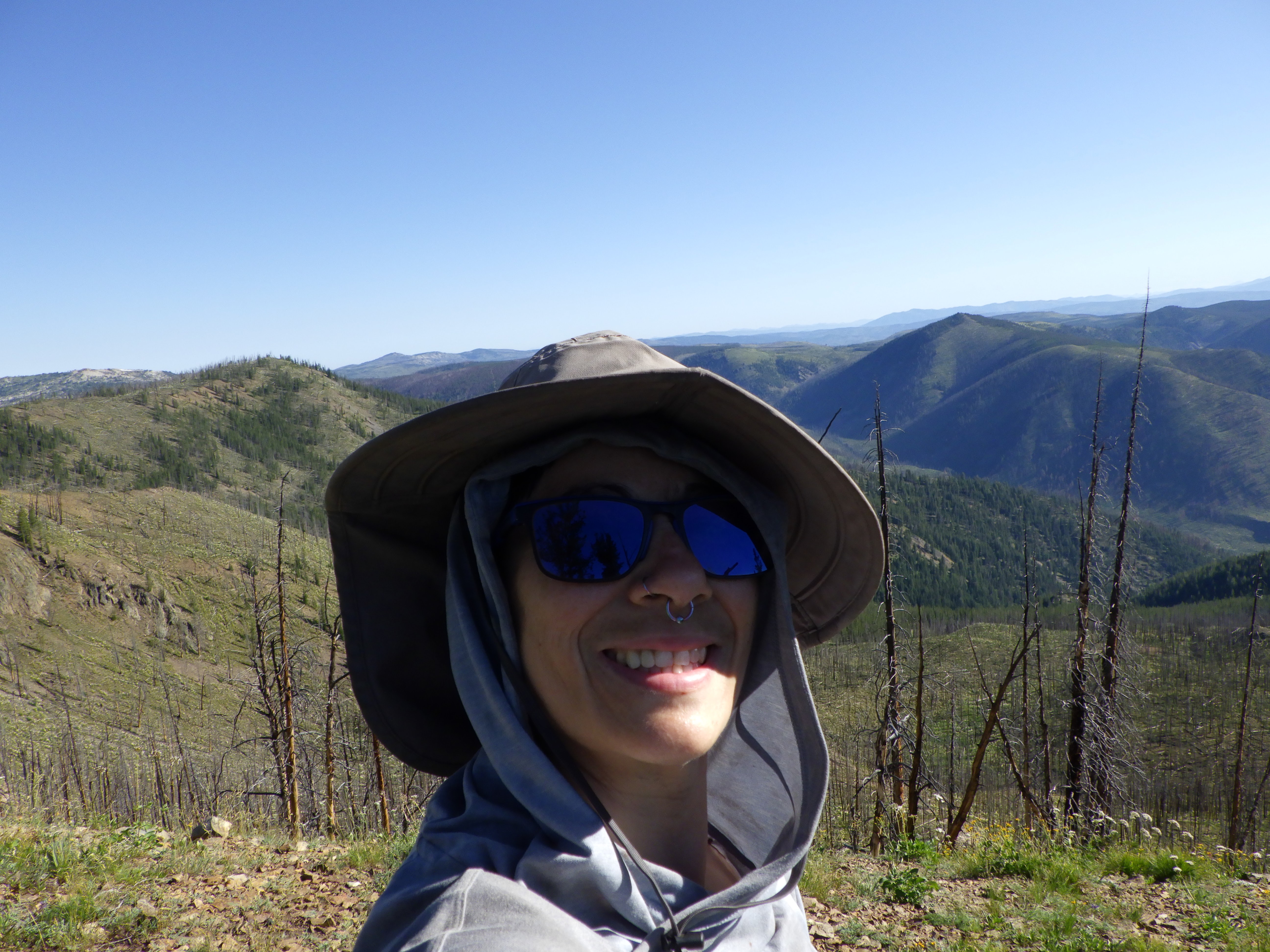
I made sure to look back periodically as we hiked up, to see the land we’d just hiked through. It’s a very beautiful area, and each gain in elevation gave a different angle to enjoy of the view. After a while though, there was less to see behind us, because we were starting to hike up the creek drainage. That meant a lot more bushes and small trees and challenges.
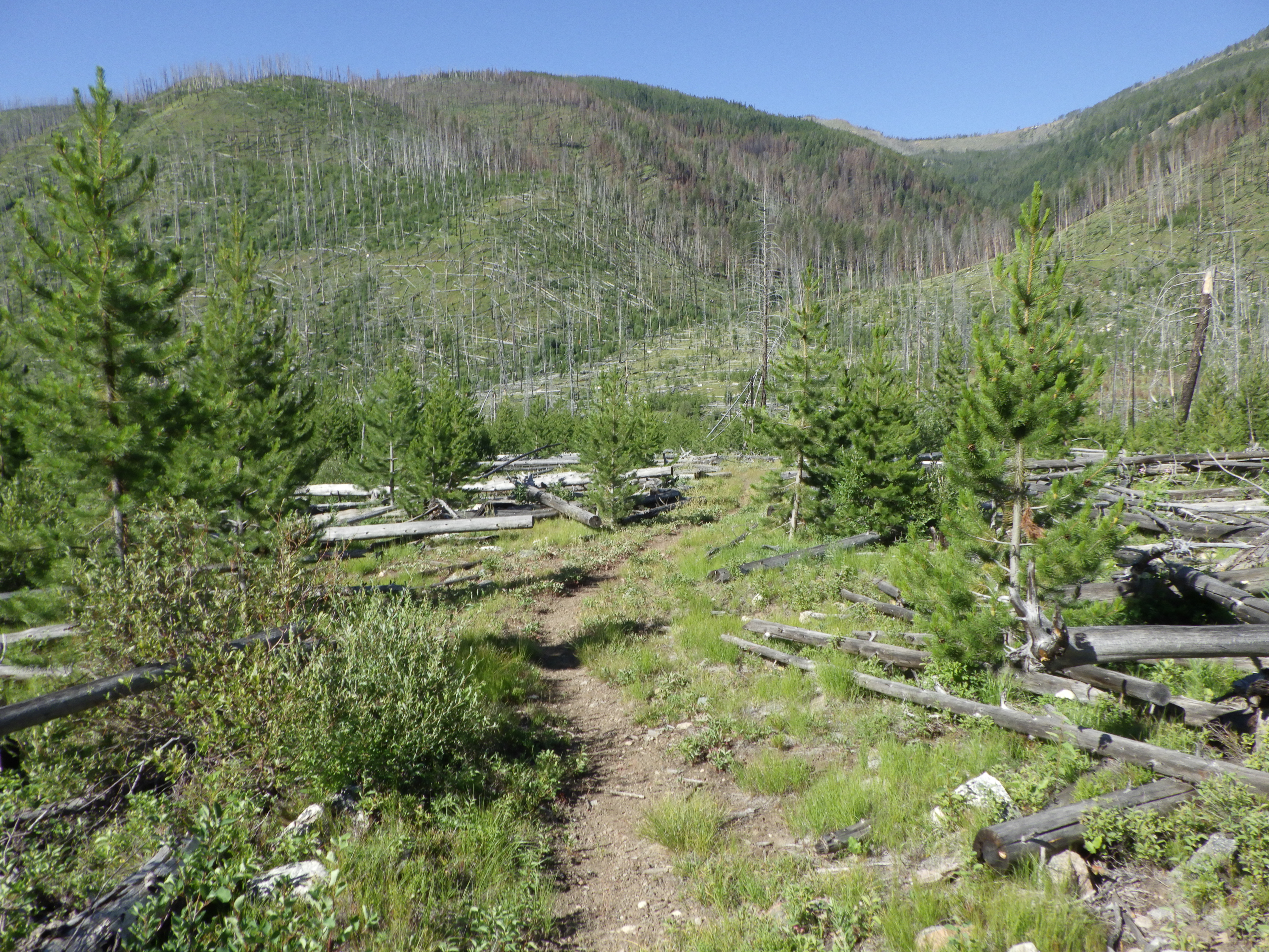
The trail here was clearly less well maintained. A lot of live, mature trees had fallen down over the trail. It was so bad, that at one point, I convinced Ambrose to follow me up to a sea of rocks in the hopes it might be a trail. It wasn’t a trail, but it was a lot easier to traverse than the tree covered trail. But after we reached the end of that rock slide section, we went back to the trees.
There were a lot of them. Yes, we were pretty much on trail, but it didn’t feel like trail. It felt more like torture, especially with my injured arm catching on branches as we had to go over, under and through – yes through! – trees and branches and bushes. I kept looking longingly at every rock pile up above where we were hiking. Ambrose kept leading us through tree puzzle after tree puzzle. Successfully, I will add, using the GPS to keep us mostly on track.
Then the GPS told him that the trail was in Coin Creek, which was the body of water we were following upstream. Not next to the water, but right on the water. That’s where my line got drawn. No way was I hiking up a creek!
Good thing we found a trail going up to the rocks. I got my wish! We headed up and hiked along trail that was blessedly free of trees. Well, it was tree-free until we hit the forest again, but there weren’t too many down on the trail. It was almost time for lunch when we reached the crossing of Coin Creek. It looked like the trail kind of disappeared at that point. There was old trail going back the way we came at a different angle, but there didn’t appear to be trail going forward along the creek. So we crossed, and then found a little spot to eat lunch, a bit upstream of the crossing because that’s where the shade was.
I went and got some water to filter while Ambrose studied the GPS and the map. Then I made lunch while he got some water filtered. We ate, and then Ambrose went on a walkabout trying to find the trail. He recrossed the creek and explored. I sat in the shade and tried to recover.
Before too long, he returned. He hadn’t found a good route, but it was time to keep going. We weren’t far from the mine, that was certain. We just needed the right path.
I got myself up and ready to go. Then I followed Ambrose towards the creek crossing, but something made me hesitate. After we’d crossed the creek initially, we’d found a washed out section, a second crossing that was much shallower, and a lot of loose rock. I thought, what if the trail just kept going straight? Trails generally do around here; in fact, that’s one of the tactics I use now to help me stay on iffy trails. So I took a look. Ambrose looked back when he realized I wasn’t right behind him. I asked him to wait a moment. And I explored.
Lo and behold, a cut log! A trail!
And look up! It’s the mine!
We had made it. Technically, we made it before lunch, we just hadn’t realized it at the time.
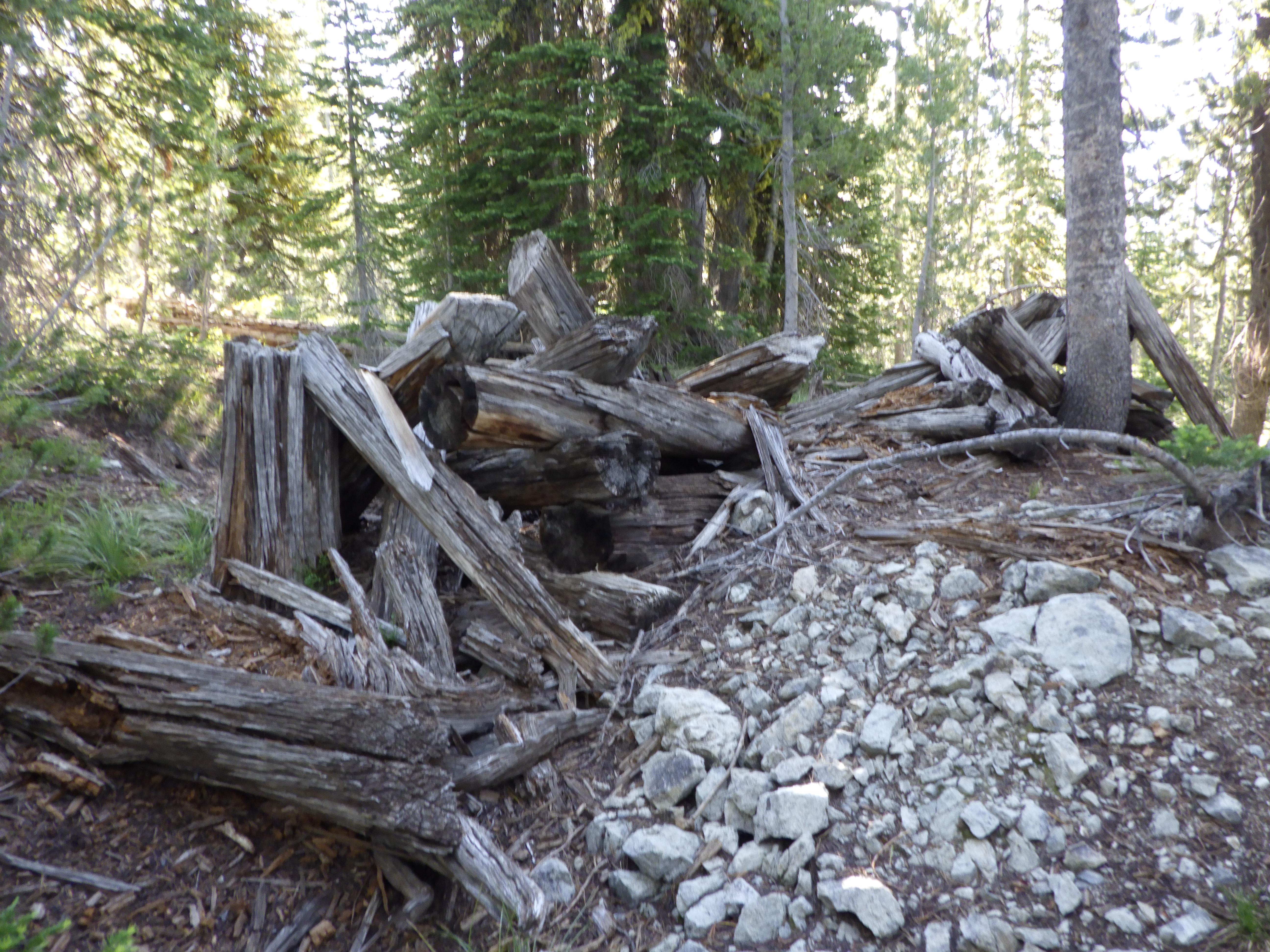
There were several structures and lots of old, rusted machinery at the site of the Golden Hand Mine. We explored the largest building’s first floor extensively, but couldn’t get into the second floor. The door was stuck, and the stairs were kind of scary, especially on the way down. I found water along the trail we’d be taking the next day. It was easier to get to because going back down to our original crossing was a significant down hike in comparison.
We spent the afternoon looking around and hanging out. We ate dinner at a fire ring outside the large building. I improvised a bench by setting a plank across the metal ring. It was quite nice to sit on for eating. The weather forecast was warm for the evening, so we decided to cowboy camp. It’s nice, every now and then, to sleep without a tent. As long as the bugs aren’t too bad!
 |
| Ambrose is ready to go. |
 |
| We could have camped over here, but didn't. |
 |
| The day's hike started off on an easy downhill. |
 |
| The ground was damp, but my boots didn't get wet. |
 |
| Ambrose is ready to take that down jacket off (I'm not). |
 |
| Back to an elevation where the bear grass is in bloom. |
 |
| Water under the bridge. |
 |
| Just a few downed trees to navigate on this section of the trail. |
 |
| Good morning! |
 |
| Another "easy" downed tree. |
 |
| These thimbleberries aren't even green yet - they're still flowers. |
 |
| This trail has seen some maintenance. |
 |
| We're almost to the sun... |
 |
| Crossing of Hand Creek. |
 |
| We weren't the only ones to cross Hand Creek recently. |
 |
| I'm pretty sure the peak to the left is Pueblo. |
 |
| Joe Creek! |
 |
| I started to lose Ambrose while I looked at this fallen tree's roots. |
 |
| But he got really far ahead when I tried to get a good picture of these tiny flowers. |
 |
| No sign of the junction I remembered. |
 |
| This is the trail. Yes, just right over those logs. |
 |
| You'll have to trust me that this was trail. |
 |
| Ambrose getting ready to cross Beaver Creek. |
 |
| Beaver Creek wasn't very deep, but it was quite swift. |
 |
| The trail on this side started out difficult. |
 |
| Then the trail got a bit easier. |
 |
| Though the trail still had challenges for us, following it wasn't one. |
 |
| With every step, I'm hoping we're through the worst of it. |
 |
| I would have packed this out, but it's grown into the tree. |
 |
| These rocks are not trail, but the trail had a lot of tree. |
 |
| So Ambrose and I took the high road. |
 |
| But then we went back to the low road. |
 |
| Ambrose - with pack off - slides through a gap between two trunks. |
 |
| Green huckleberries, alas. |
 |
| More flowers. |
 |
| Now the trail is on the rocks, yay! |
 |
| Except it gets bad again when it goes into the shade of the trees. |
 |
| Ambrose starts heading back the way we came after lunch. |
 |
| We ate in the shade, right by the water. |
 |
| I decided to give this path a try. |
 |
| And it's a good thing I did! |
 |
| The biggest building we found at Golden Hand Mine. |
 |
| This is the rear entrance, which was the only usable one. |
 |
| Some of the interior looked pretty solid. |
 |
| I don't know that I'd sleep in that bed. |
 |
| I couldn't jam this door open any farther. |
 |
| These stairs made me nervous. |
 |
| A very old, not at all cold, refridgerator. |
 |
| A cage - to keep something in or something out? |
 |
| The front of the building - that door no longer opens, though one could get inside via a big hole in the wall. |